A Foundation of Proven Experience
Certus Spatial Solutions is a founder-led surveying practice based in London. Our principal has personally conducted over 100 measured building surveys across London in the past 12 months, covering residential extensions, loft conversions, period properties and listed buildings. You deal directly with the surveyor from first enquiry to final delivery — no account managers, no handoffs
Expert Professional Oversight
Every survey is carried out and quality-checked by a Chartered Geomatics Surveyor (MRICS) — the highest level of professional qualification in measured survey practice. You get the accuracy and accountability of a chartered professional, at a scale that works for independent practices.
Advanced Technology & Local Expertise
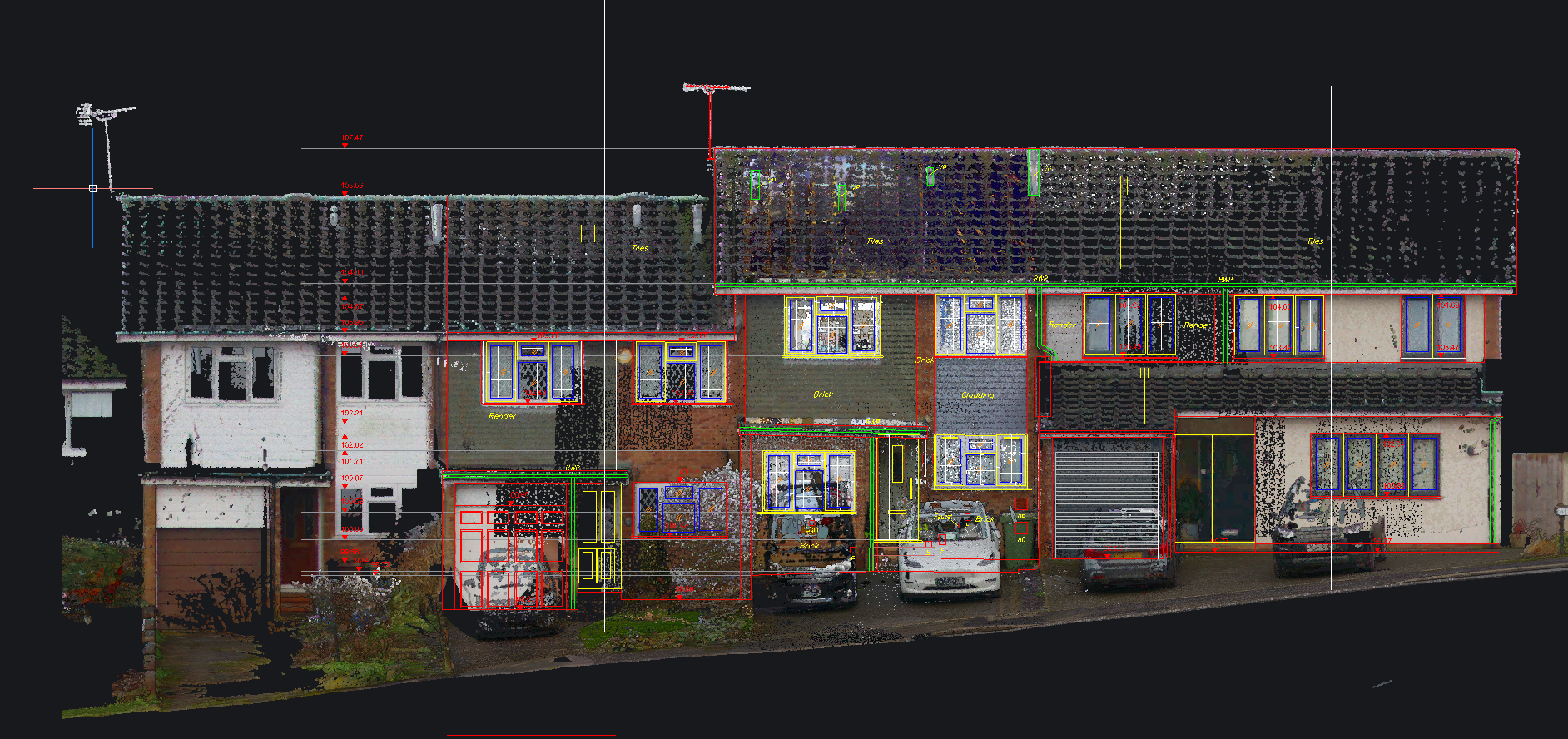
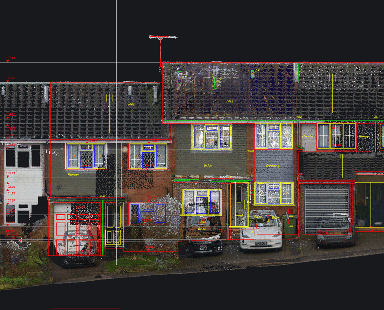
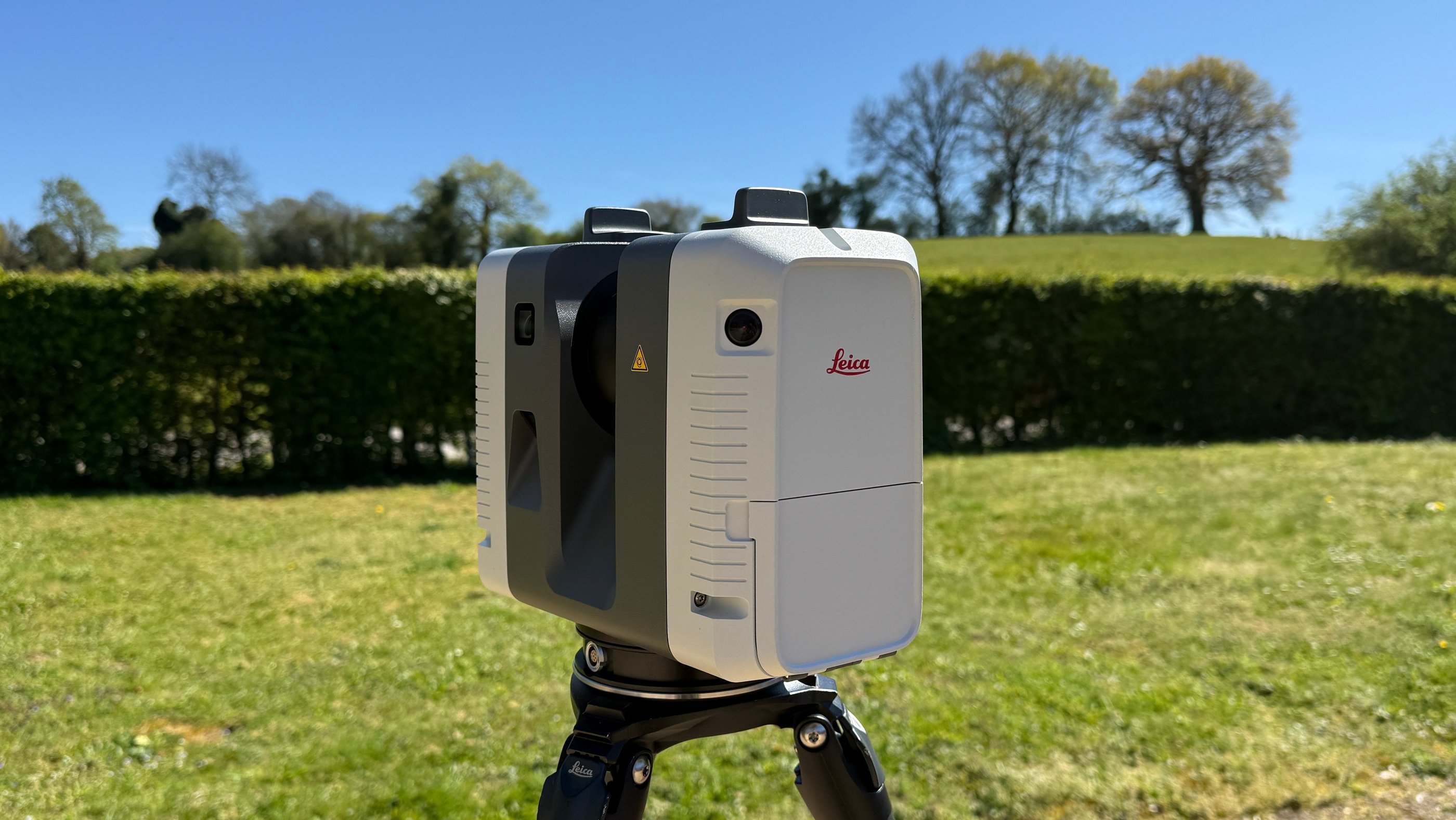
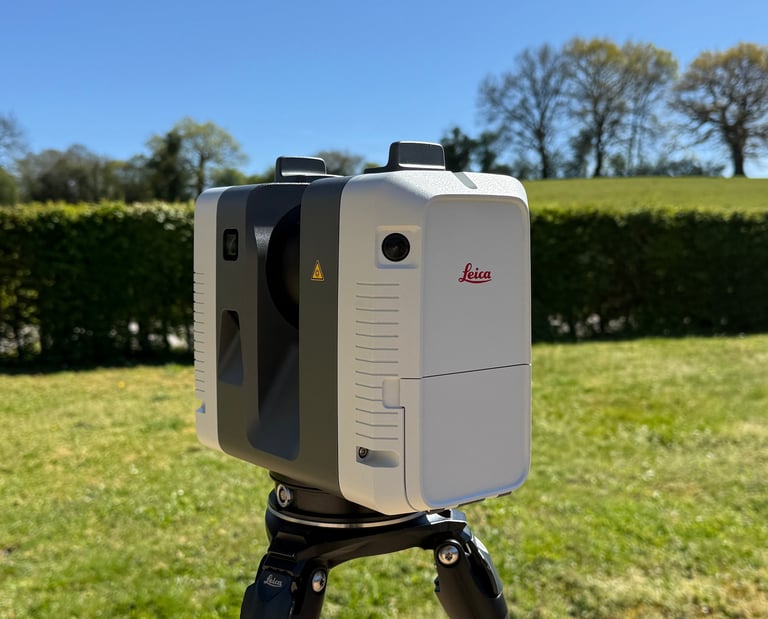
We use industry-leading Leica Geosystems scanning technology and professional-grade processing software to ensure every survey meets the accuracy standards your project demands. Based in London, we work across the capital and surrounding areas, with flexible scheduling including weekends to suit your programme
Getting in touch with us
To discuss opportunities in our services, please get in touch with our team.
Phone
info@certus-spatial.co.uk
+44 (0)773 777 2182
© Certus Spatial Solutions 2026. All rights reserved.