Core Competencies
We provide accurate, architect-ready survey drawings so you can start designing with confidence — without revisiting the site yourself.

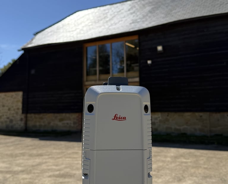
Measured Building Surveys
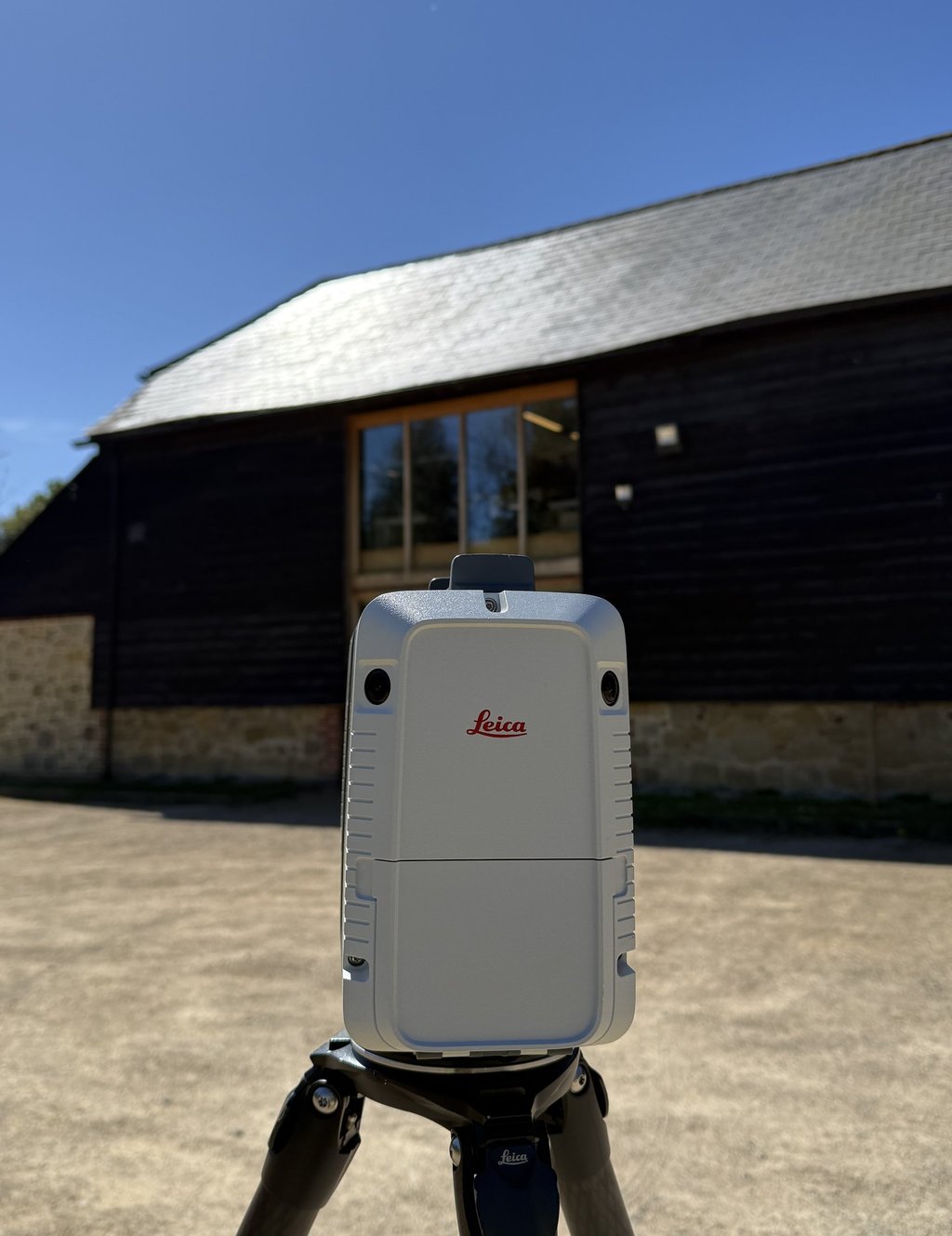
From residential extensions and loft conversions to listed buildings and period properties, our 3D laser scanning captures every detail of the existing building. Floor plans, elevations and sections delivered in AutoCAD — accurate, well-organised, and ready to design from on day one.
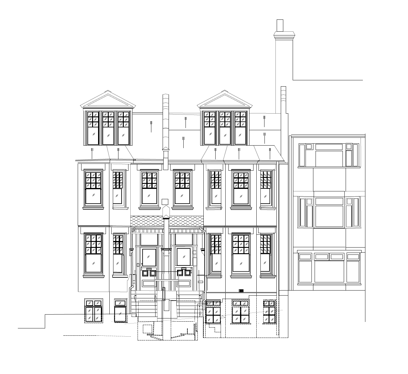
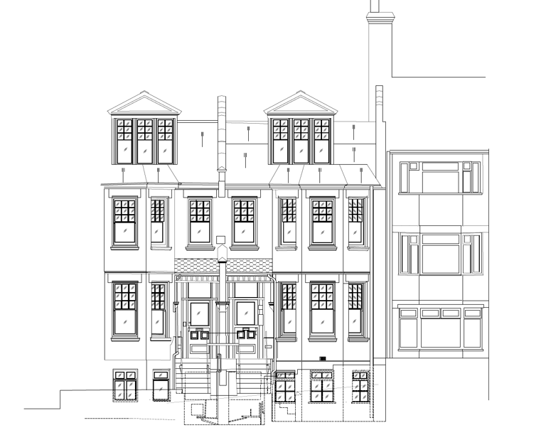
Architect-Ready CAD Delivery
Survey data is only useful if it works in your hands. We deliver clean, well-organised 2D drawings and 3D models that integrate directly into your workflow — correctly layered, correctly scaled, and ready to use without rework.
We also provide Topographical Surveys and UAV Drone Surveys where required, giving you complete site context alongside your building survey.
Comprehensive Site Capabilities
Capturing Complex Environments
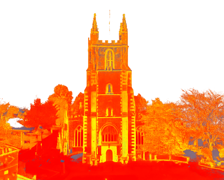
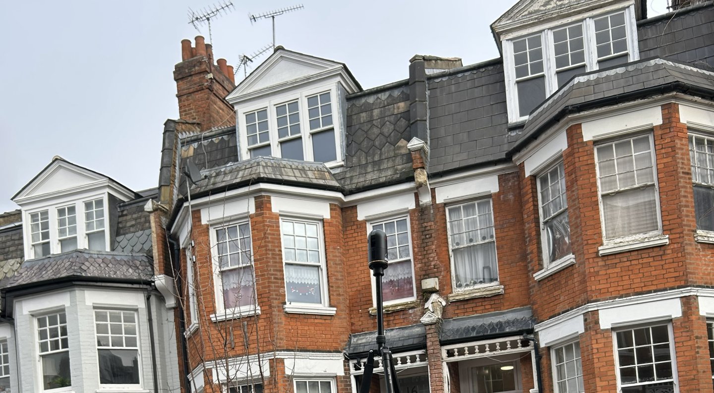
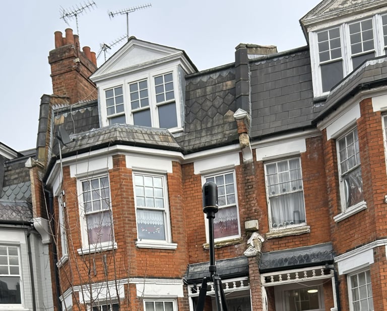
Heritage & Period Properties
Residential Extensions & Conversions
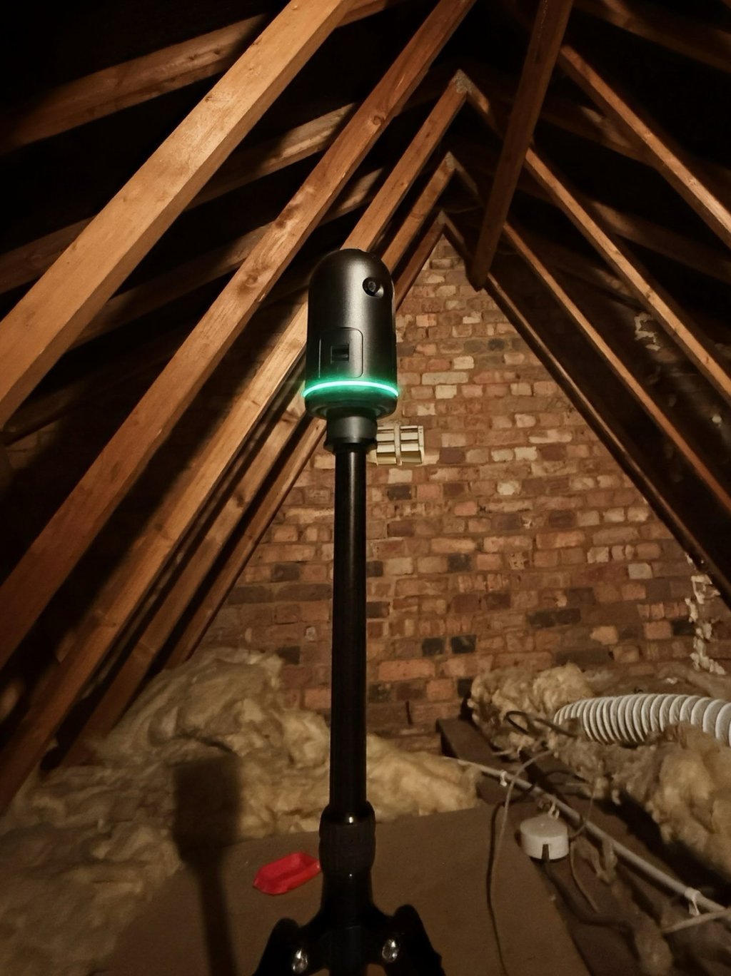
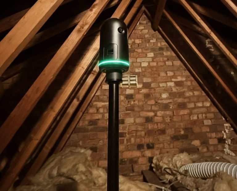
Complex Loft & Confined Spaces
Getting in touch with us
To discuss opportunities in our services, please get in touch with our team.
Phone
info@certus-spatial.co.uk
+44 (0)773 777 2182
© Certus Spatial Solutions 2026. All rights reserved.